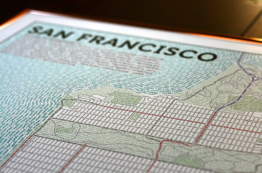
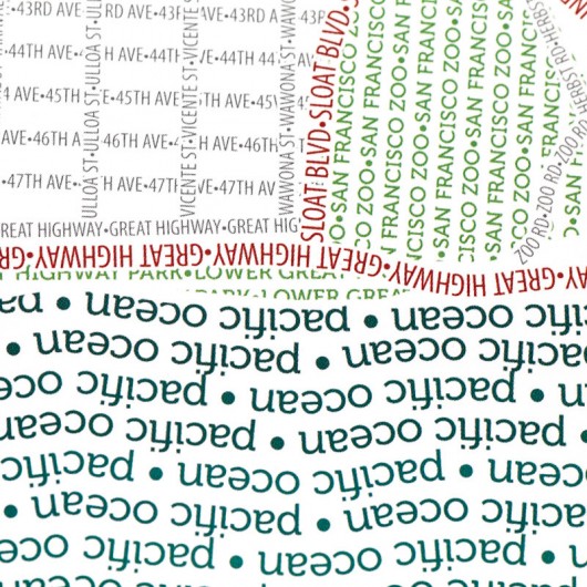
Axis Maps created a map of San Francisco’s streets, highways, parks, neighborhoods, and physical features using nothing but type. How did they tackle the crazy hills and crooked streets of the city? “The famous hilly topography of the city is clearly seen in the twists and curves of many of the streets.”
Ork Posters known for “form, function, and community” created the original typographic city neighborhood map. Designer and founder, Jenny Beorkem, developed the idea for these prints after searching for a Chicago map that fit her taste for “good design and typography and simple aesthetic.” Shortly after creating her own neighborhood map in 2007, she launched Ork Posters and designed posters versions for Manhattan, San Francisco, and Boston. Below is a three color screen print in deep violet, dark green, and white.
Check out the other color ways on Ork Posters!
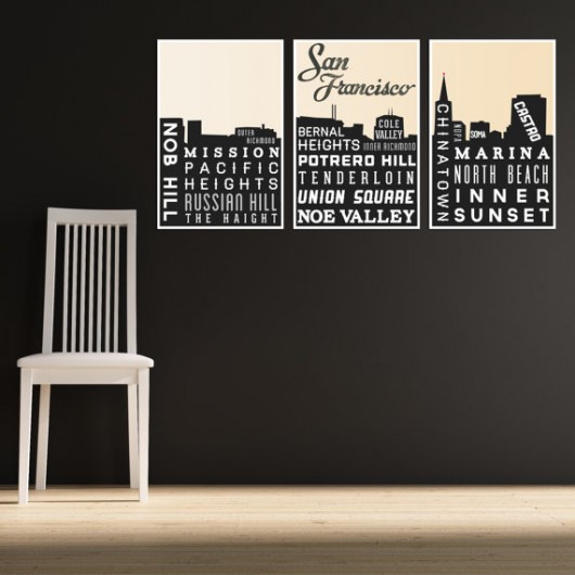
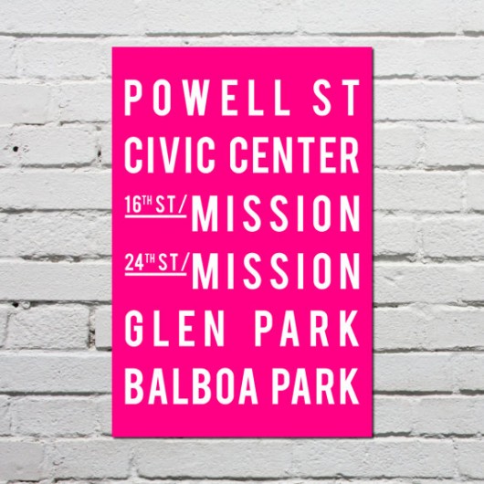
What’s the best way to get around this 7×7 city? BMW aka BART, Muni, and walk! Every day locals and tourists rely on Bay Area public transportation to get around. You can learn a lot about a city by hopping on a bus or train heading to different neighborhoods. Etsy shop, Going Underground, specializes in “Subway Art & City Skylines.” Our favorite SF prints feature the famous BART stops and the beautiful city skyline.

via Etsy
More San Francisco selections on Etsy | GoingUnderground.
—————————————-
What’s your favorite San Francisco neighborhood or landmark? Explore the Financial District and Yerba Buena Center for the Arts at TYPO Contrast!


